This was my second year of competing in the VINCE, a two day navigation event based in the Spanish Pyrenees. Last year I was teamed up with Dougie and Mark and we scored 39 points. This year it was just Dougie and myself and we managed to more than double our score and finished second !
Here are links to blog posts about last year’s event :
https://v2xs.com/the-vince/
https://v2xs.com/the-vince-2/
https://v2xs.com/the-vince-3/
For the 2020 event, the organiser Austin VINCE put together a nice little video explaining a bit about himself, the background to the event and showing the huge amount of effort and planning that goes into creating something like this – now in its 15th year…
This year there were two classes for the event – the traditional “maps and compass” class and a new GPS class. Last year we did the maps and found it quite hard work so had intended to switch to the easier GPS class for this year. However, a few weeks before the event Dougie attended a map reading class held by Austin and decided we needed a change of plan… So it was maps and compass again.. This didn’t leave much time and the first job was to find some way of fitting the maps on the bike. Last year we used a road book reader and I combined the target route into a continuous A5 scroll that we could just roll through as we went. However, the huge disadvantage of this system is that you have no flexibility to change from the pre-defined route. Dougie was happy to go with A3 maps and already had a massive windbreaker fitted on the front of his bike. I felt that A4 would be big enough (with a magnifying glass on board just in case)..
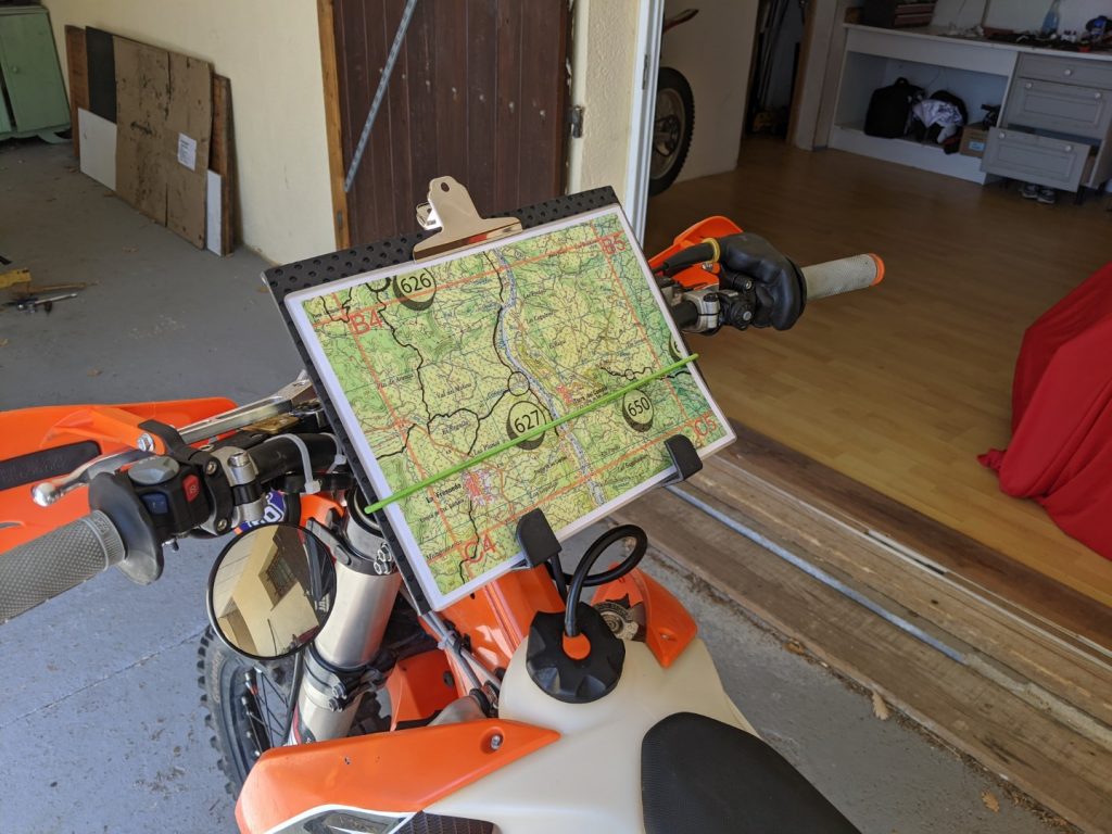
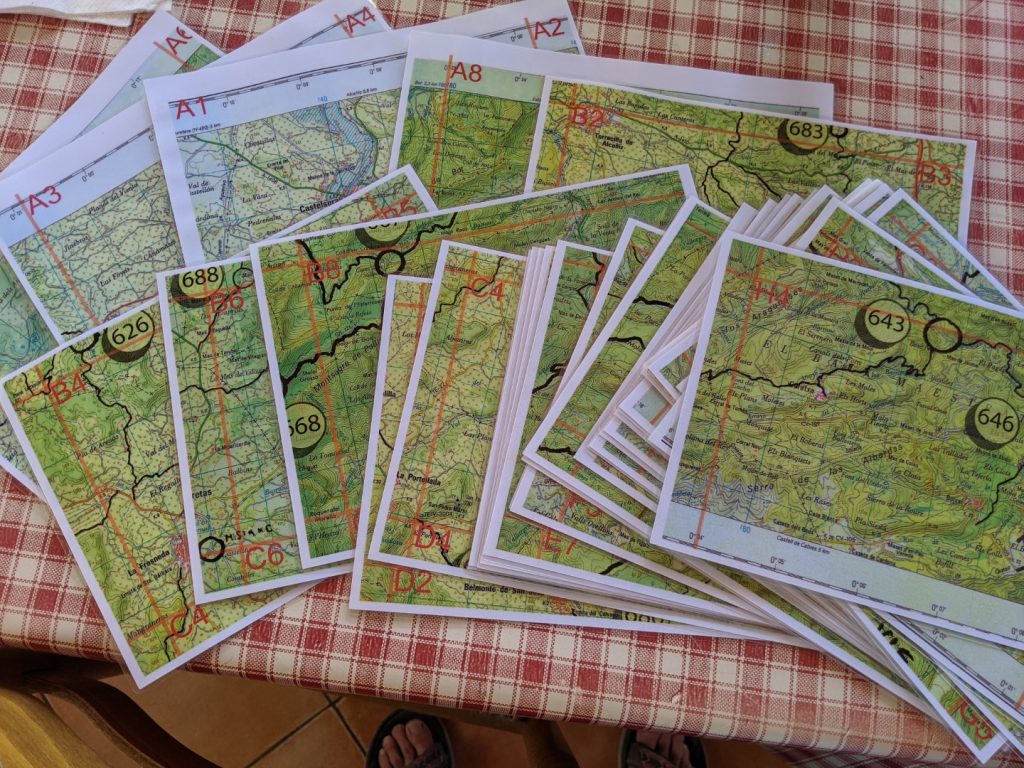
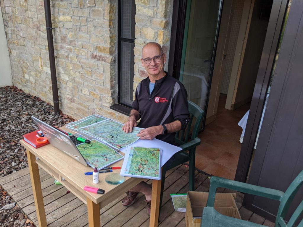
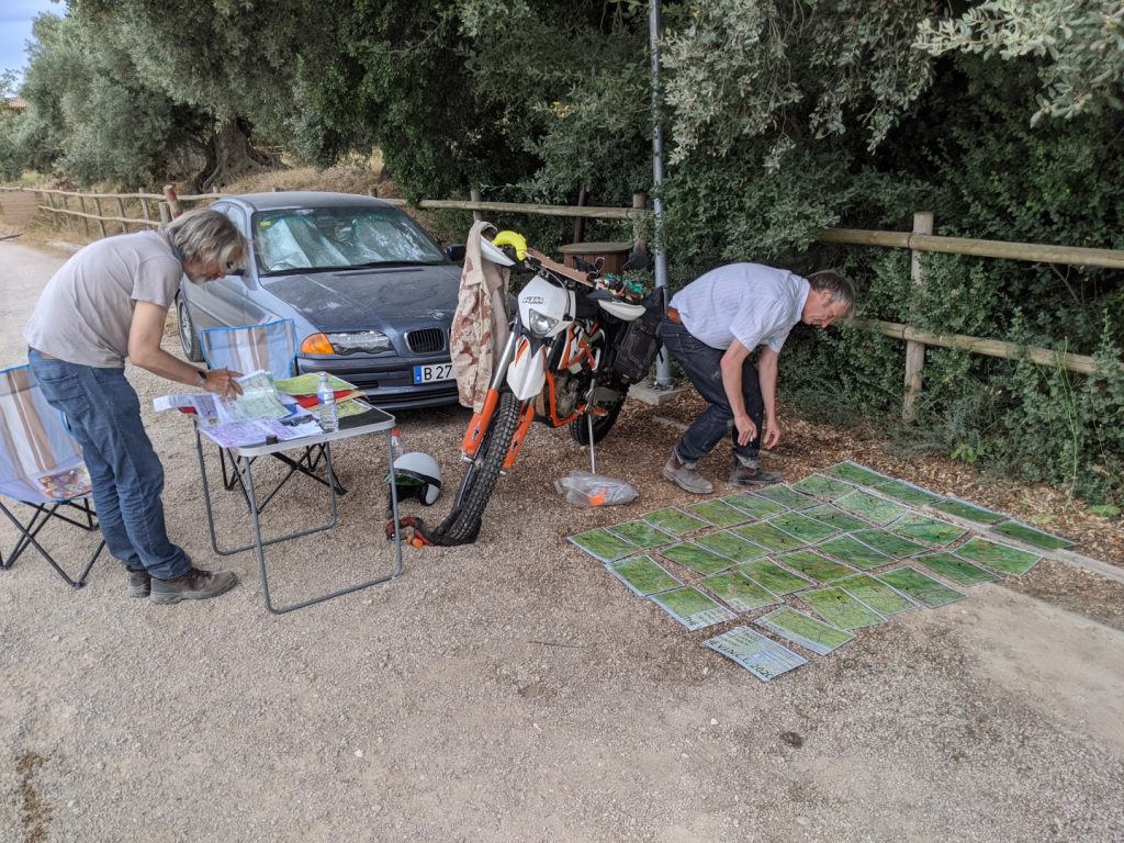
Our friend David O’Brien (Dangerous Dave) did a great job of scanning the four full size maps, adding the routes already tested by Austin and all the checkpoints (about 80 of them). Dougie did his usual excellent job of planning the routes for the two days allowing for fuel stops – you ride from 8am to 8pm and the best guys are covering 200 miles in that time. Fuel stations are few and far between so careful planning is required. Using Google Earth we were able to do simulated fly-throughs of our planned route to check the trails appeared to exist and to gather additional information regarding difficult junctions. Dave had divided the huge map up into individual “tiles” and I got these printed locally and laminated on double sided A4 sheets.
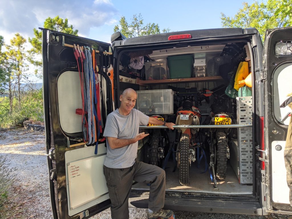
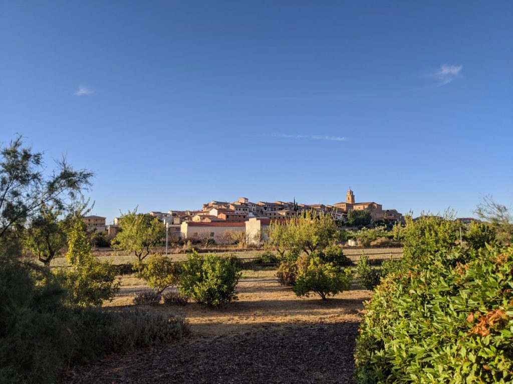
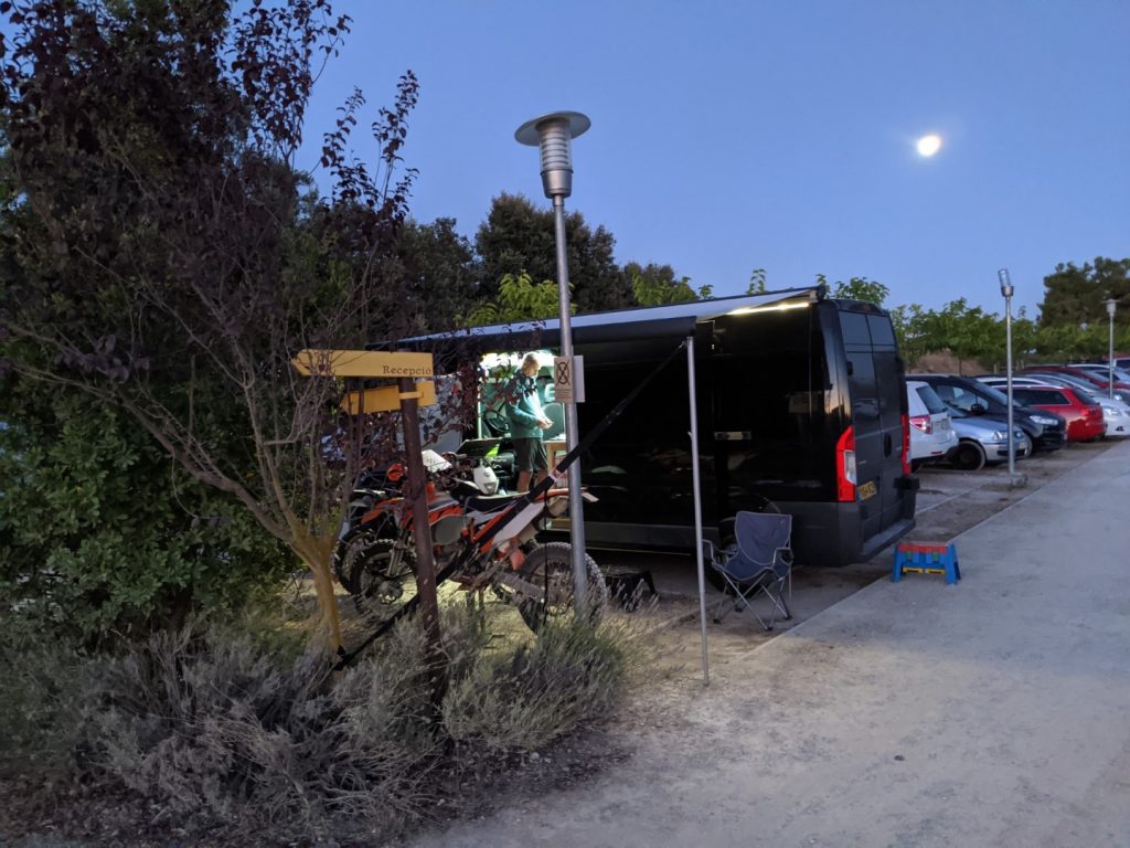
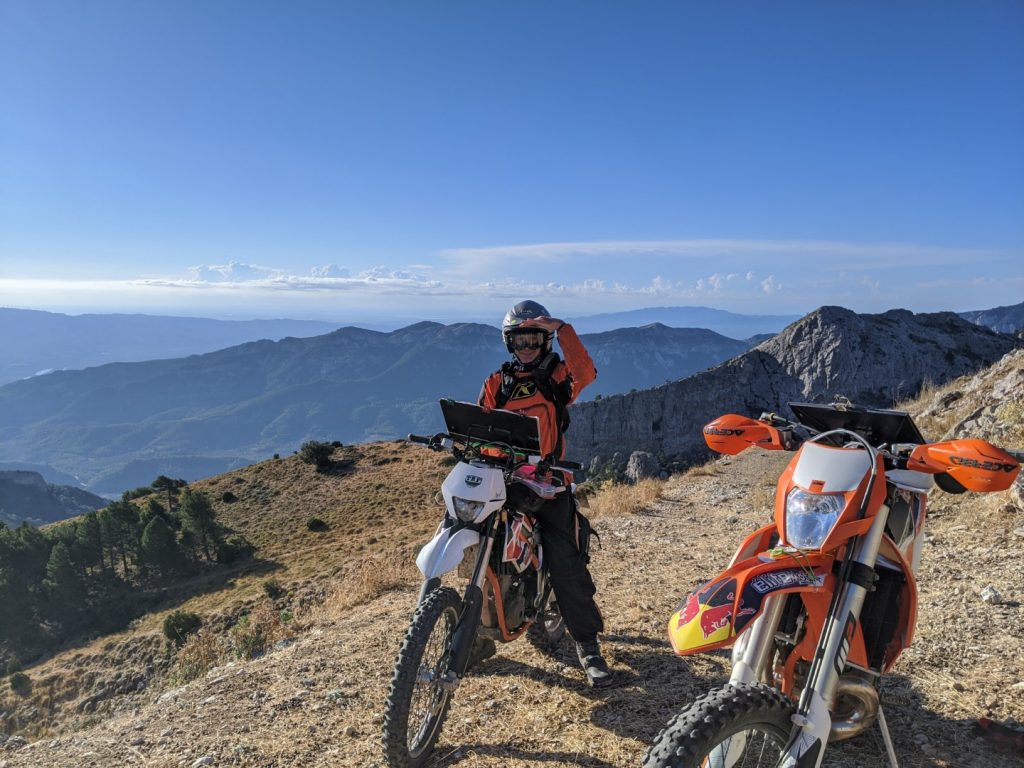
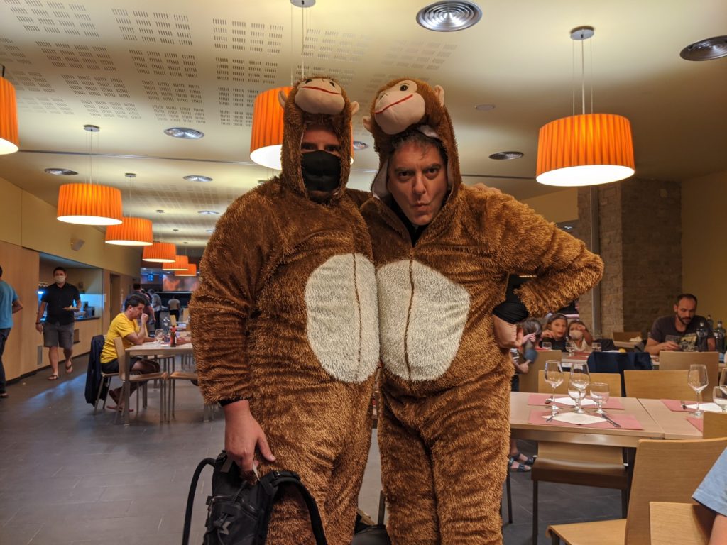
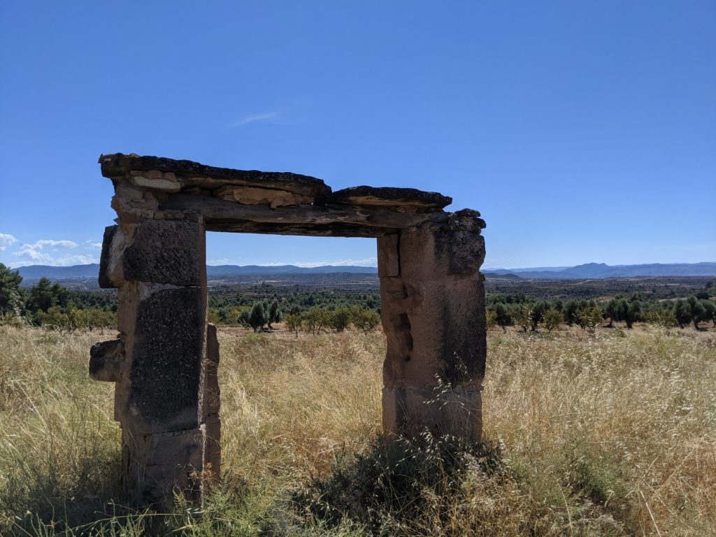
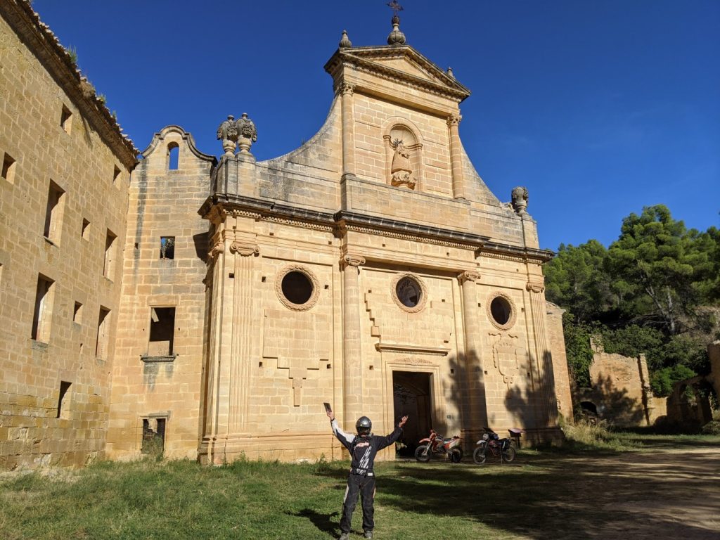
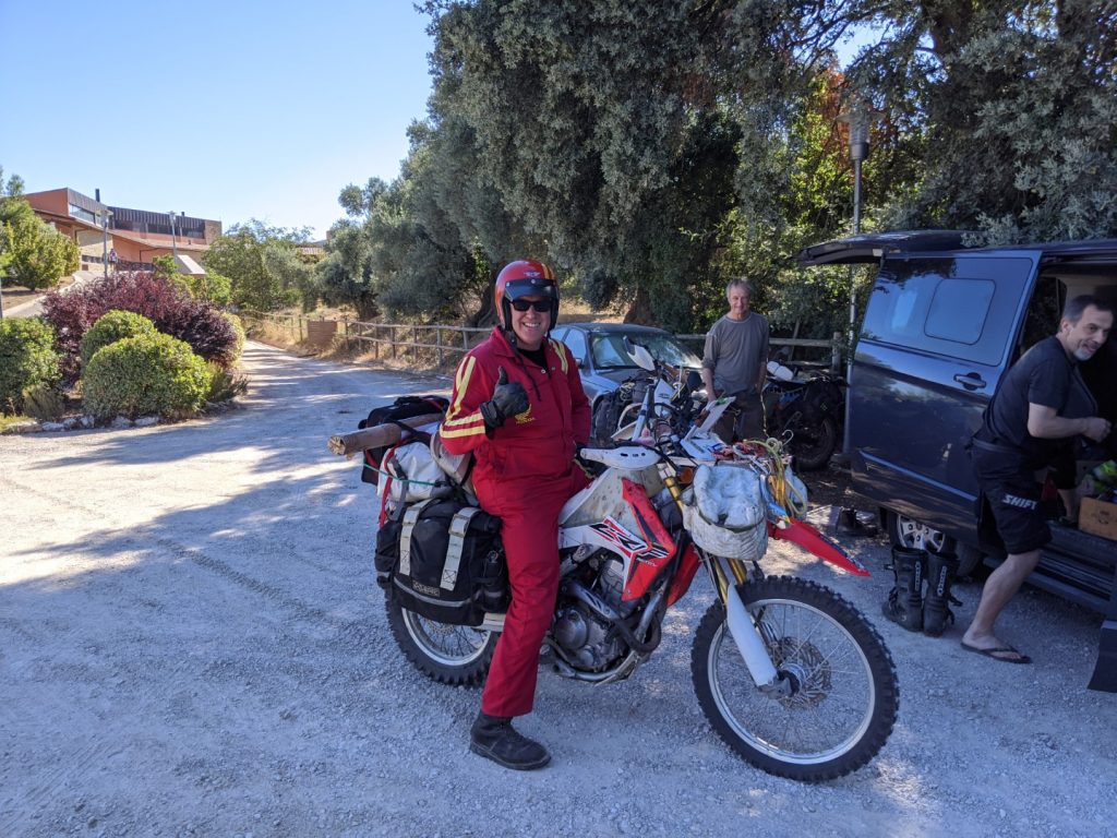
Really pleased that our planning and preparation paid off. The number of participants was dramatically reduced due to COVID concerns but more than doubling our score from the previous year was an amazing result.
Until next time…
Here is the link to the sign up page…
http://www.austinvince.com/the-vince
