To read a bit more background see the original post here.. https://v2xs.com/the-vince/
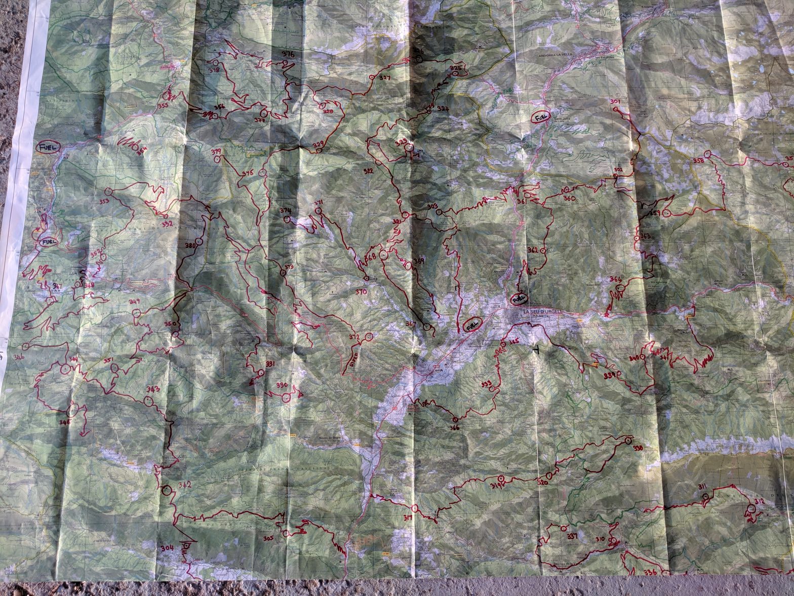
Two months before the event an information pack arrived. This contained a very large scale A3 map of the entire area with the check points highlighted, a booklet with additional details on the location of each checkpoint (CP) and a 1:50k map of the Alt Urgell region – just on the Spanish side of Andorra. Apart from a compass these are the only materials you are allowed to use.
Doug worked for hours to identify exactly where each CP was and mark it on the 1:50k map. He then traced over the visible trails to provide a route to each CP. Finally he selected the routes we were going to follow which was no small task!
The competition is run over two days and you are allowed exactly 12 hours on each day to visit as many CPs as you can and record the code on the tags. It is impossible to visit them all in the time available. Bill Gates or my brother Chris would have created some sort of optimisation program to define the best route – CPs that are further away or more difficult to reach score more points just to add to the complexity. The winner is the team with the most points – no idea what the prize is?
Doug eventually came up with four routes covering the morning and afternoon of each day and totalling about 250Km per day off road. A target we will struggle to achieve! There is no limit to the technology you can use in planning the route so Doug also created gpx trails and was able to do 3D “fly-throughs” using Google Earth to check out the trails. Sadly he wasn’t able to memorise more than 5Km.
So having created the routes on a map about the size of your dining table, how do you carry them on a bike?. Stopping every few Km to unfold the full size map would never work – and you can never get them to fold up again properly! And just to add to the difficulty the 1:50k map is really too small to see the essential details you need when navigating – a 1:25K map would be more suitable but is not allowed.
The traditional wisdom and approach recommended by the organisers is to make an A3 wooden board and fix it to the bike and then stick the maps to this. They also recommend taking the marked up 50K map to a copying shop and getting it enlarged x2 to create a pseudo 25K map (which is allowed). The map is then twice the size of your dining table…
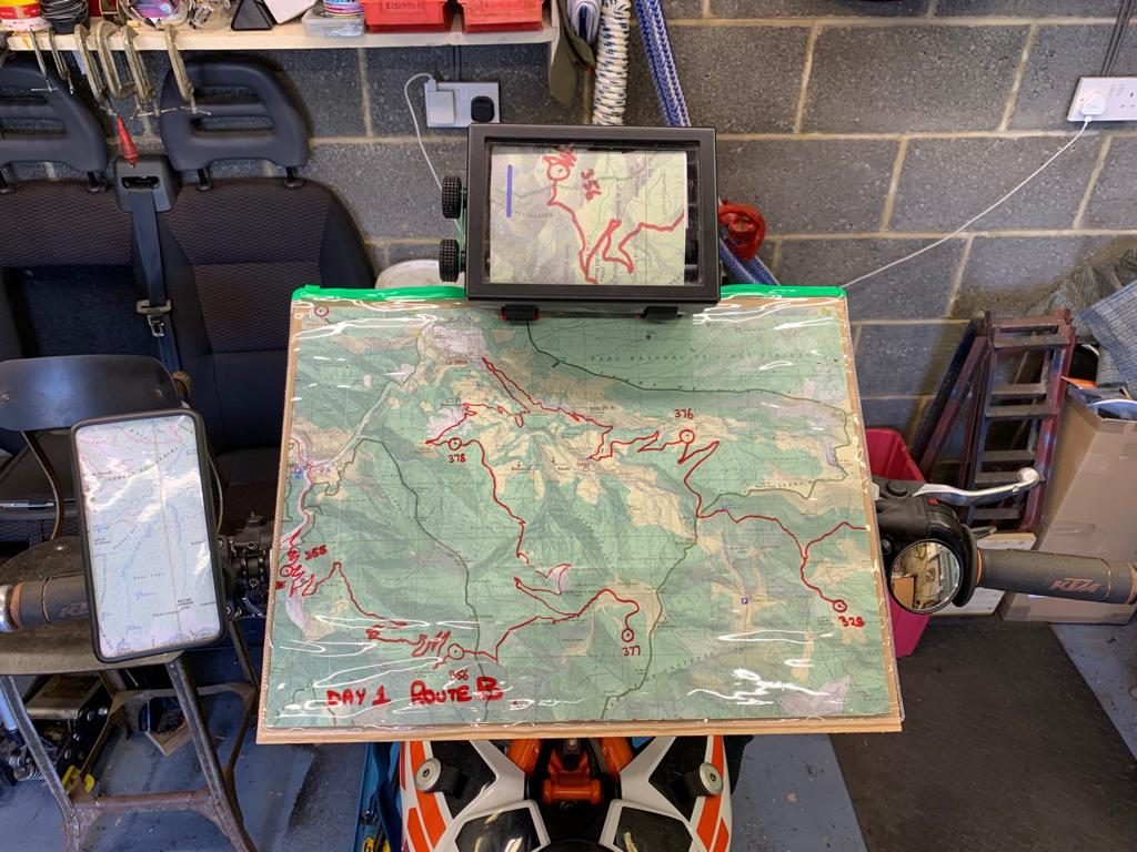
Road book reader – much better.
Phone with GPS – ideal but forbidden!
Doug and I discussed our approach at the outset – we did consider cheating by using GPS, but as our team is called “Old School” we thought we should stick to more traditional methods. Now I have enough trouble riding and staying on my bike normally and I’m sure that adding an A3 windcatcher would not help my bike control at all so I wasn’t keen on that idea. On other navigation events we have used road book readers (like the Paris-Dakar rally guys use) which are much more compact and contain a continuous scroll of A5 size paper. I offered to work out how to get the table top map onto a road book scroll…
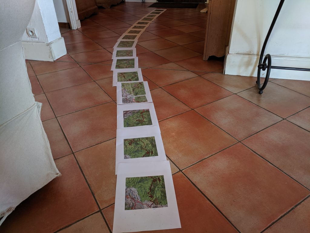
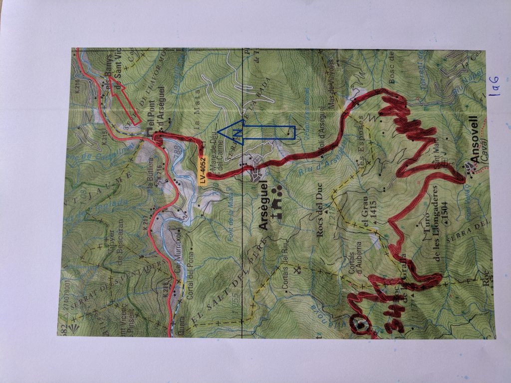
This involved scanning in the 50k map with the trails and CPs marked, taking each section (CP to CP) from the scanned image and manipulating it in my computer to enlarge the map and change the orientation so that the track we were following always ran up the page – the reader scrolls from top to bottom. These were then printed out on A4, which needed cropping to A5 size and then sticking together to make a continuous scroll. End result was two scrolls – one for each day.
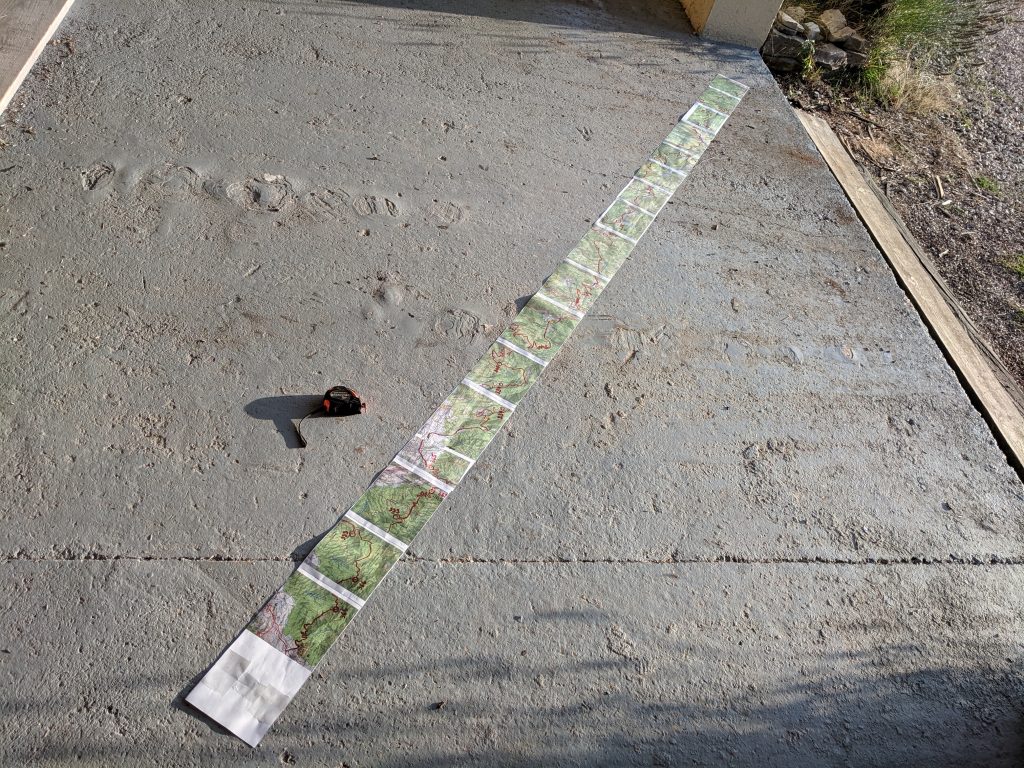
So apart from fitting the road book reader to the bike, installing the scroll, finding somewhere to fix a compass, preparing the bike/spares/tools we are nearly ready to start. Oh yes and as we have at least two fuel stops each day and my bike is a two stroke I need to find some way of measuring the necessary 60:1 mix of 2T oil to add when refuelling….
And just to add a little more excitement to the mix I was checking through the paperwork for the event and came across this disclaimer from the organisers…
Safety – There isn’t any!
Trail-riding and motorcycling are NOT safe. You do not have to face these risks. Be safe by NOT motorcycling. Be safe by NOT trail-riding in remote wilderness locations. If you lose control on a cliff-edge mountain trail, and go over the edge, you will be killed. Your safety is NOT guaranteed. If you are killed it will not be my fault. It will be because you are riding unmaintained trails in the mountains, far from help. If you want a guarantee of safety you must NOT come on this trip.
Sounds like fun !
