This is the third year that Dougie and I have entered this event. You can read the tale of last year here:
https://v2xs.com/the-vince-2020/
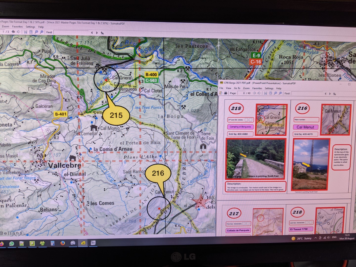
The VINCE is the creation of Austin VINCE (one of the first people to ride around the world) and the event is called the V.I.N.C.E. or Very Interesting Navigation Challenge Event. It takes place each year in September in the Spanish Pyrenees and is much like a traditional treasure hunt. Austin and his team have secreted small metal tags (usually attached to a sign post or abandoned farm building) – typically about 80 of them. A couple of months before the event he sends out the maps (in 1: 50,000 scale) and the all important Check Point (CP) booklet. This book has a page dedicated to each CP and provides a small map of the precise location, a photograph of the relevant post or building, a map reference and usually some additional instructions to help you find it.
Each team then has a few weeks to prepare for the event which consists of trying to define the best route to allow you to visit and collect as many CPs as possible and record the tag information in the CP book. The actual event is run over two 12 hour days – from 8am to 8pm. However, this is not enough time to visit all of the check points so you have to be selective. The preparation is further complicated by the fact that the CPs have different values (1, 2 or 4 for the 2021 event), the routes to the CPs can be roads, easy trails or more challenging goat tracks. In addition you have to allow time for food, drink and piddle breaks as well as planning a fuel stop. Finally the main competitive class for the event is restricted to only using the maps that Austin provides, plus a compass. However, there are other classes for older twinshock bikes and an “anything goes” class where GPS is allowed.

Last year (2020) we finished second in the map and compass class, but there was a reduced field due to Covid of only 40 competitors. For 2021 this had increased to over 90. Dougie and I were determined to turn in a better performance and had made a note of lessons learnt from 2020…
Optimise route for points score
More road miles in order to cover distance – winners doing 200 miles per day and scored 130 (we scored 82 !)
Reduce down time : No fuel stop – saves time and gives more flexibility for route planning
Need 1:25k maps (two times enlargement of Austin’s map)
Add CP info to maps
Use Sharpie to record CP tag details on map
Don’t take CP book
Use intercom – easier to correct mistakes – faster CP turnaround
Make even better use of Google Earth
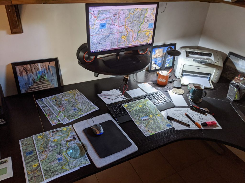
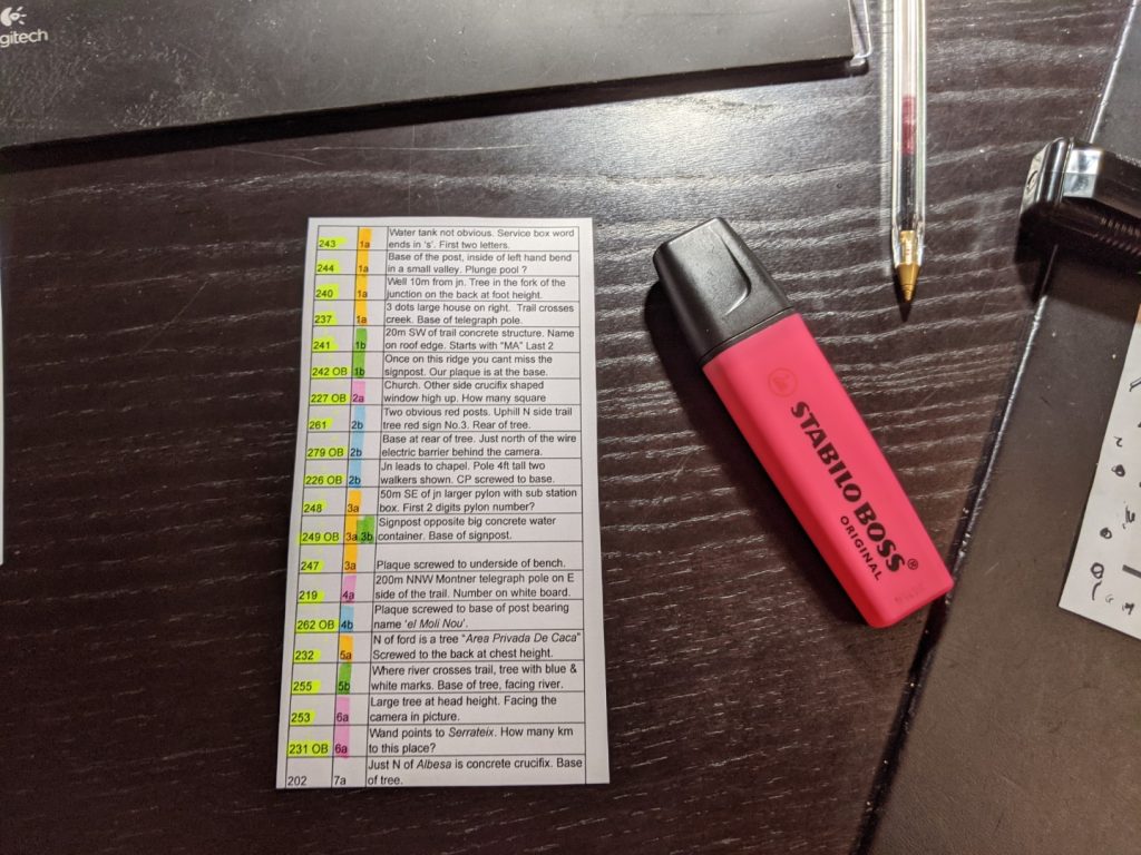
We tried to incorporate all of the above into our planning for 2021, including the “Don’t take the CP book” which proved to be a fateful choice….. The book is quite cumbersome and has to be dug out of the rucksack at each CP, flick through it to find the right page, pull out the page from its plastic wallet, write down the CP tag information, re-insert the page and stuff the book back into the rucksack. We decided this was wasting a lot of time and that we would create a laminated sheet and record the CP data on that using a “sharpie” – the CP book stayed at home.
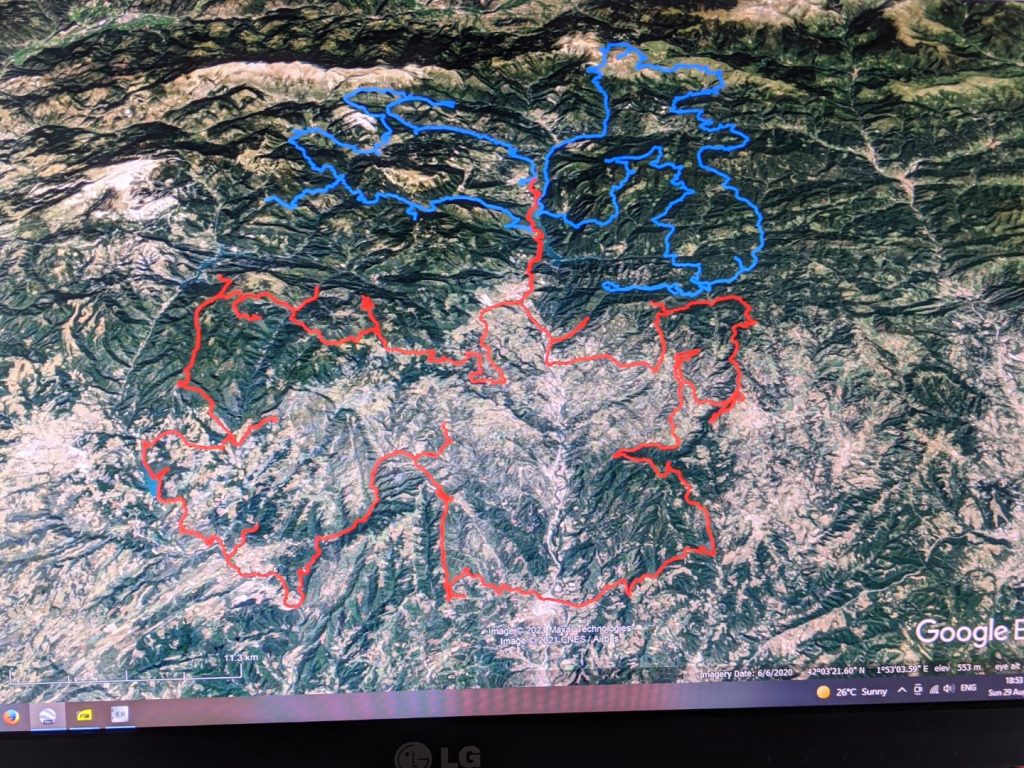
The preparation for the event took weeks. Doug did his usual great job of creating a route for each day and converting it into a GPX track. I then validated that using Google Earth and discovered a few errors and suggested some changes. The revised route was then “walked through” using Google Earth and the knowledge used to mark up the official maps with the route we were to follow together with additional information such as embedding the photos of the CPs. This took hours and hours of work…
A lesson learnt from last year was to avoid the need to refuel as this wastes time and compromises your route – filling stations are few and far between in these parts of rural Spain. I had managed to obtain a second hand larger tank for my bike (20l) which was a direct replacement. Dougie had tasked his Durham engineering students with developing a solution to gain fuel capacity on his KTM Freeride (standard tank size 5.5l), but he ran out of time to implement this and in the end just carried additional fuel in panniers strapped to the bike (total 19.5 litres) – like a bouncing bomb along the trail.
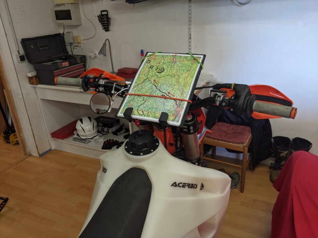
The final marked-up maps were printed and laminated – Dougie preferring A3 format, but me sticking with A4 (I like to be able to see where I’m going). In addition we each had a crib sheet for each day. Mine was quite simple as my job was simply to navigate and find the CPs. Dougie had a running order sheet with the distance and time between each CP, together with our expected arrival time and space to fill in the actual arrival time. This meant that as the day went on he was able to keep a track of progress against the plan and to think about rescheduling/rerouting if we started to fall behind.
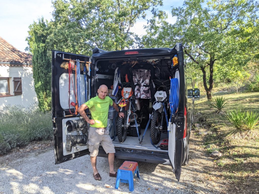
Dougie drove down from Yorkshire to my place in France and after some final tweaks to the bikes and maps we were ready for the off…
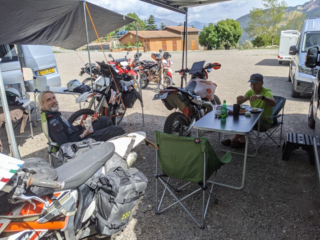
We arrived at the venue in Spain and set up a base camp in the car park. Gradually the other competitors arrived with a wide variety of machinery from Honda Monkey Bikes through to big KTM Adventures. The Honda CRF 250L seemed to be a very popular choice and is the bike Austin uses himself. As usual I was the only idiot riding a two stroke… The clouds circling around the surrounding mountains looked very threatening and the forecast didn’t promise anything better over the next few days – it seemed that getting a good soaking was going to be unavoidable.
The evening before the event Austin gave his usual entertaining briefing. However, he suprised everyone by announcing some last minute changes to some of the CPs – some had been deleted altogether and others had been relocated. This was a huge issue as we had already defined our routes and there was no time to do any replanning – this would be a real test of Dougie’s on-the-run rescheduling abilities. The only consolation was that this setback was the same for all the competitors.
Day 1
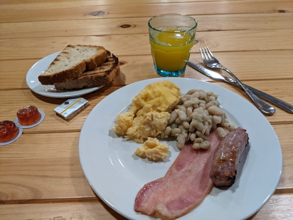
We set off on the dot at 8am after having forced ourselves to eat the high protein breakfast provided by the hotel – and realising that there would be no time for a lunch stop.
Conditions were dry and looked promising. We made a good start as we had spent some time rehearsing the route to the first few CPs to ensure we made good initial progress. It wasn’t long before some navigation errors started to creep in, but it was very useful having us both navigating using the same maps as we could quickly agree on where we had gone wrong and how to get back on track. In the morning Austin had handed out some notes on the CP changes, which was fine until the rain started and washed the notes away…
Then the heavens opened – Austin himself described the rain as biblical – it was impossible to go on in these conditions and it was necessary to stop and shelter – but there was no shelter….
The trails that had been easily manageable became very slippery in no time and visibility was drastically reduced. My goggles misted up and this together with the dark cloud and tree cover made the trails treacherous and we had to stop with no shelter until the storm had passed – or at least eased off a bit.
I was confident in my goggles as they are “double glazed” and don’t normally steam up. I didnt realise until I got back to base that the water had penetrated between the two lenses…
Another issue with the rain was that the “sharpie” we were using to record the CPs would not write on the laminated sheets when they were wet. The intercom we had setup was a great idea and worked well at very short range but was soon abandoned as it couldn’t cope with more than about 50m of separation and struggled with background noise from the bike and wind.
We didn’t complete all of the planned route and Dougie had to work hard to replan our route on the fly. But we got back just in time having covered 250 Km for the day.
Day 2
Slower start today – Dougie overslept and once we got out to the paddock it was pouring with rain which delayed things and we were about half an hour late starting. It was obvious that the conditions had taken their toll as not many other competitors were there for the early start.
Day 2 was the mountains for us and although the rain was not too bad the mist made visibility poor.
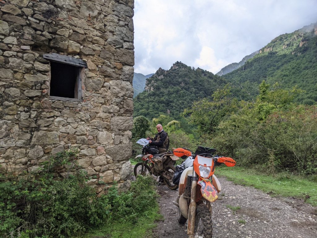

On Day 2 we managed 200Km and fewer points than the first day.
Back at base in time we were asked to hand in the completed CP book (which we didn’t have) and could only offer our laminated score sheet. The stewards (Austin and co) went away to deliberate and the results were announced after dinner that evening…. And we won ! But were disqualified for not completing the CP book… No hard feelings from us as we were really pleased that all the preparation had worked and our plans had more or less come together.
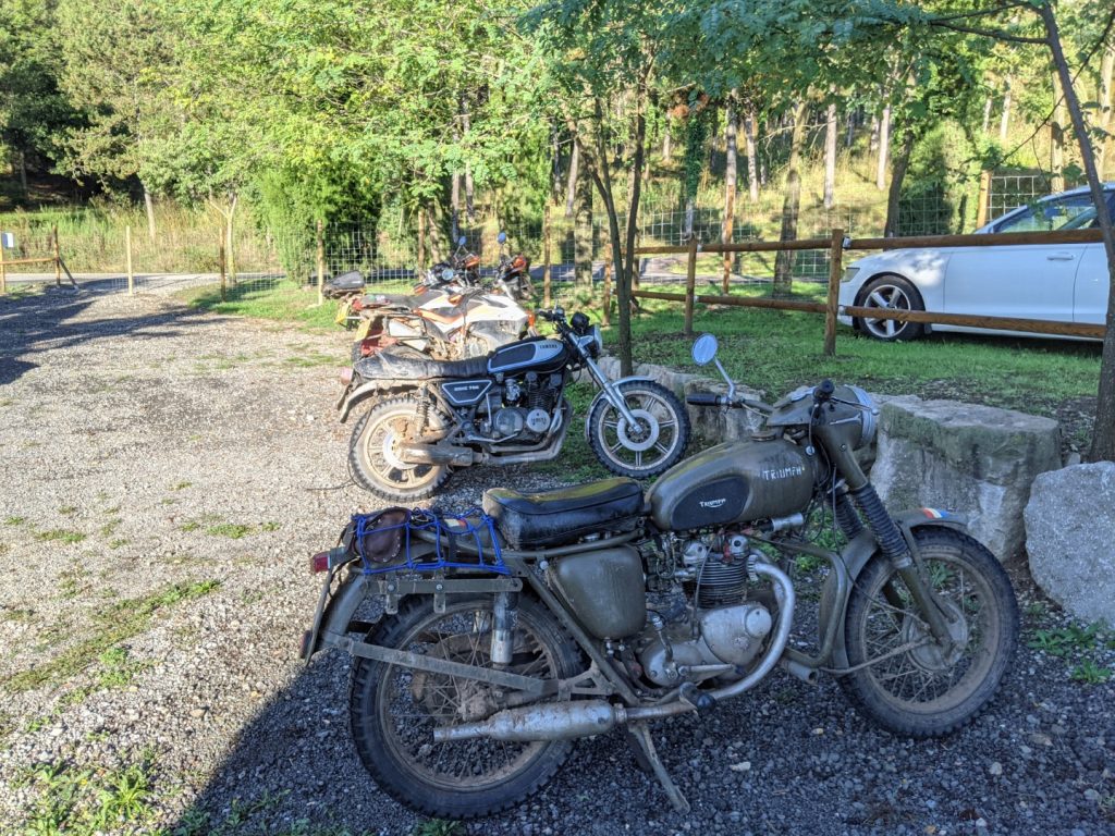
The Twinshock class was won by a father and son team on a pair of old road bikes – and they posted better scores than some people on dedicated “dirt bikes”.
We are entering again next year as “Team Disqualified”….
